Admiralty
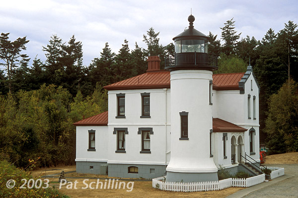
Head is located on the western edge of Whidbey Island,
overlooking
the Strait of San Juan de Fuca.
This, the second lighthouse at Admiralty Head, was built in a Spanish
style and included a two-story dwelling that was linked to the base of
a circular tower of roughly the same height, by a one-story foyer.
Three bedrooms were located upstairs in the dwelling, while the
kitchen, dining room, and a living room were downstairs. The lighthouse
was activated on June 25, 1903. By
the early 1920s, the bulk of marine traffic was powered by steam rather
than wind, permitting the modern vessels to hug the western side of the
inlet. The Admiralty Head Lighthouse was thus no longer of consequence,
and the light was extinguished in 1922 after just nineteen years of
service. Today
the lighthouse is home to a gift shop and a museum
The
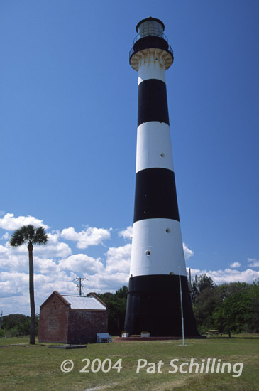
Cape
Canaveral Lighthouse has stood on the cape for over 150
years. The structure has iron plating bolted together and the
whole
tower is lined with two layers of brick with spacing between the actual
brick wall and the iron plating. The lighthouse was designed to be 151
feet tall. Its beam shines approximately 22 nautical miles and
continues to be a working lighthouse today.
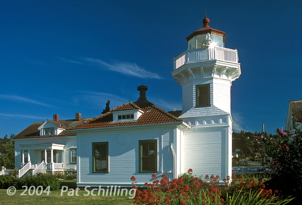
This
38 foot
wooden tower was constructed in 1906. Ownership of the
tower, dwellings and grounds was turned over to the city of
Mukilteo by the Coast Guard in 2001. Navigational equipment is still
maintained by the Coast Guard.
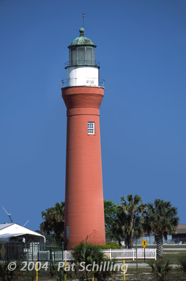
This
St. Johns River Lighthouse was actually the third lighthouse built
along the River. The first two, built in 1830 and 1835, were poorly
located, and both threatened by erosion. The third tower was lit for
the first time on January 1, 1859, stood 63 feet tall.. However, even
with an additional 15 feet added in 1887, it was still deemed
insufficient to be seen, and plans were made for a fourth lighthouse,
some 150 feet tall. Instead,
in 1929, the lightship Brunswick, stationed off
Brunswick, Georgia, was renamed St. Johns and
reassigned to a position roughly seven miles offshore from the St.
Johns River. In 1930, the tower's light was extinguished. This third
St. John's River Lighthouse is located on the grounds of the Mayport
Naval Station, and access is limited. It's future remains uncertain.
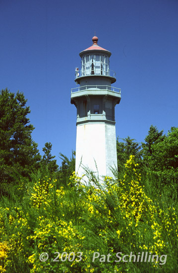
The Grays Harbor Lighthouse
was dedicated on June 30, 1898, in the
community of Westport. Standing
107 feet tall, it is the tallest lighthouse in Washington, and the
third tallest on the West Coast.
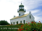
The Old Point Loma
Lighthouse stood watch over the entrance to San
Diego Bay for 36 years. At dusk on November 15, 1855, the light keeper
climbed the winding stairs and lit the light for the first time. What
seemed to be a good location 422 feet above sea level, however, had a
serious flaw. Fog and low clouds often obscured the light. On March 23,
1891, the light was extinguished and the keeper moved to a new
lighthouse location closer to the water at the tip of the
Point. The National Park Service has refurbished the interior
to its historic 1880s appearance.
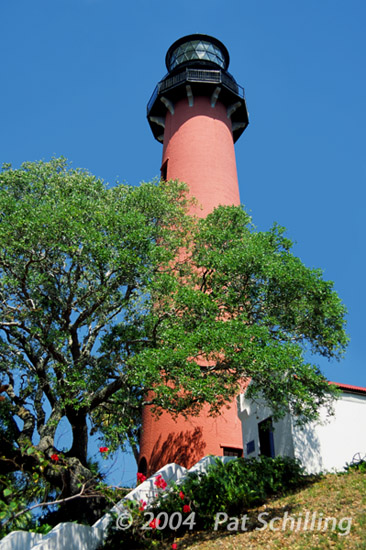
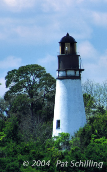
Originally
called Cumberland Lighthouse, and built across the St.Mary's River, on
Georgia's Cumberland Island, in 1820, the structure was dismantled
brick by brick, in 1838, shipped across the river, and reconstructed
atop the highest spot on Amelia Island, Florida, where the beacon
was more visible.
The
above picture was taken in April, 2004, in the midst of a renovation
project, completed later that year.
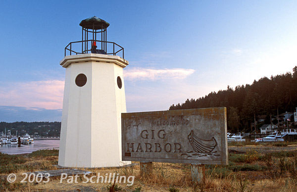
The lighthouse was built in
1988 at the entrance to Gig Harbor. The
tower stands fifteen feet tall and has an open lantern room. To finance
the structure, community members raised local funds and donated
materials and labor for its construction.
This
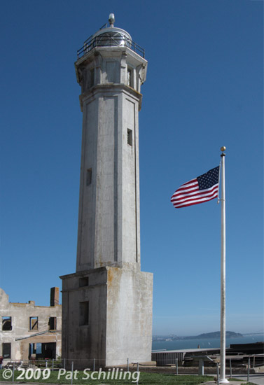
84-foot, concrete tower was the 2nd lighthouse on Alcatraz
island, built, in 1909, just south of the original lighthouse,
which had stood since 1853. Attached to the base of the tower was a
commodious dwelling designed for three keepers and their families. The
original lighthouse, which had been damaged during the 1906 San
Francisco earthquake, was eventually torn down.
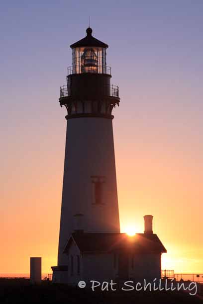
After
almost two years of toil, Yaquina Head Light, shone for the first time
on August 20, 1873. At ninety-three feet, Yaquina Head is the tallest
tower on the Oregon coast and is also a sibling to Pigeon Point
Lighthouse, California and Bodie Island Lighthouse, North Carolina. The
light shines 162 feet above the ocean and can be seen nineteen miles
out to sea. The lighthouse is owned by the Bureau of Land Management
and is part of the Yaquina Head Outstanding Natural Area. The Park Gate
is open from Sunrise or 7 am, whichever is later, to Sunset every day.
The tower is open during posted hours. Yaquina Head is located just
north of Newport.
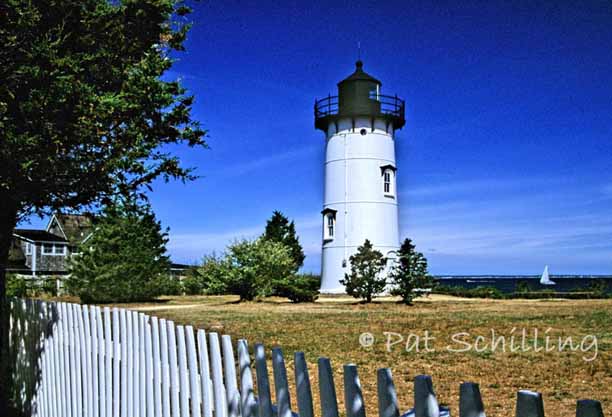
The conical
cast-iron tower of East Chop Lighthouse, stands 40 feet tall,
and was erected in 1878, along with a one-and-a-half-story keeper's
house. The
lighthouse was painted white at first, but in the 1880s it received a
coat of reddish-brown paint and became popularly known as the
“Chocolate Lighthouse.” In 1934, when the
light was being automated, the keeper's house and oil house were
removed.
In 1988, its daymark was returned back to white, as the dark color was
causing excessive heat and condensation in the tower. East
Chop Lighthouse remains an active aid to navigation.
It is owned by the Coast Guard and managed by the Martha's
Vineyard Historical Society. Grounds are open to the public,
and the tower is open during scheduled tours.
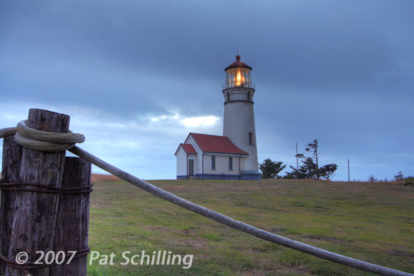
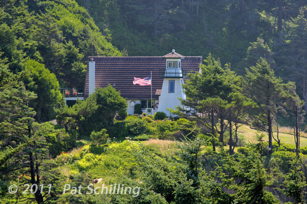
Also known as Cleft of the
Rock, it's a privately owned
lighthouse,
built in 1976 by former lighthouse keeper and noted maritime historian
James Gibbs. Cleft of the Rock Lighthouse takes its name from the hymn
by Fanny J. Crosby, “He Hideth My Soul in the Cleft of the
Rock,”. The light at Cape Perpetua was not originally
considered
for a lighthouse designation because ocean traffic at this point
travels well offshore, but in 1979, the light was made an official
navigational aid. James Gibbs remained actively involved in
the
Oregon Lighthouse community until passing away at his beloved
lighthouse in May 2010. The lighthouse is located on the Oregon Coast,
along Hwy 101. The only view is at a highway pullout along a curve just
past mile marker 166.


